Day 2 of the road trip turned out to be a bit of a damp squib, in that, one it was literally damp and two it was decidedly below expectations.
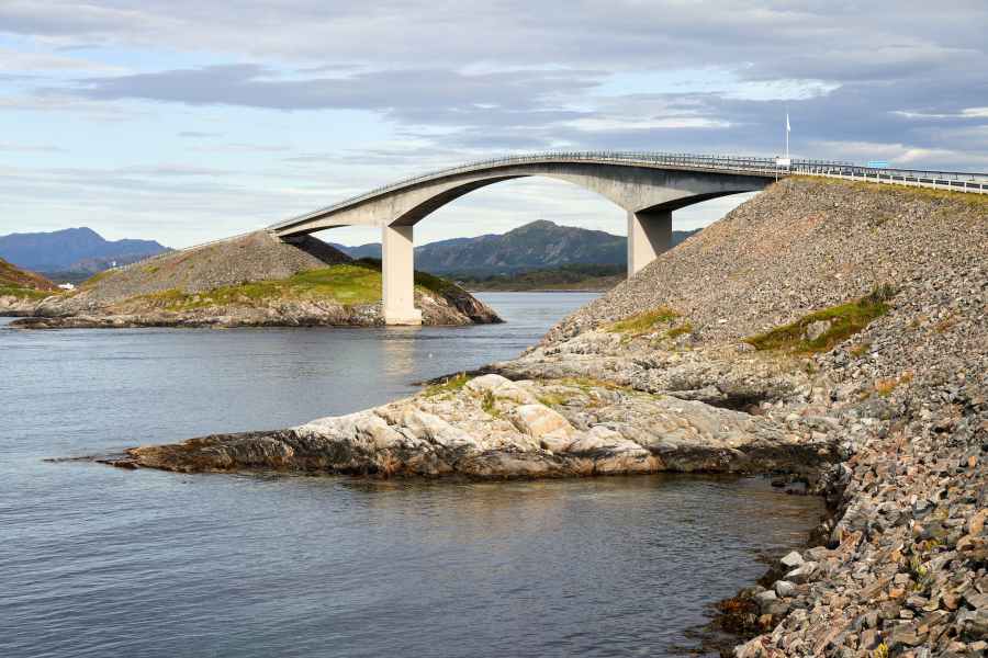
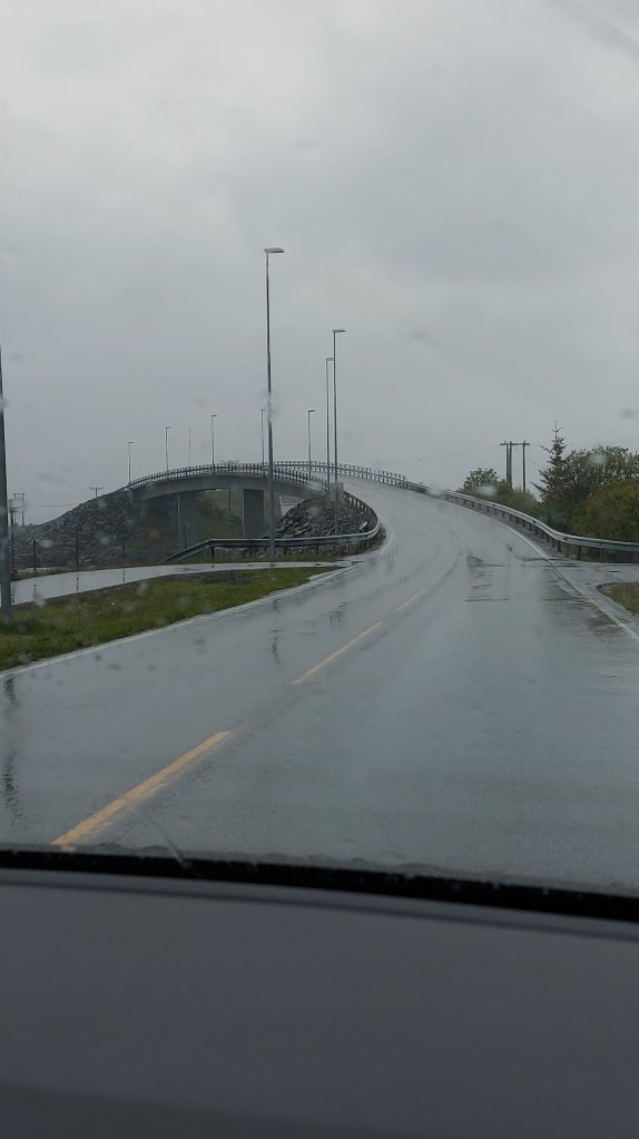
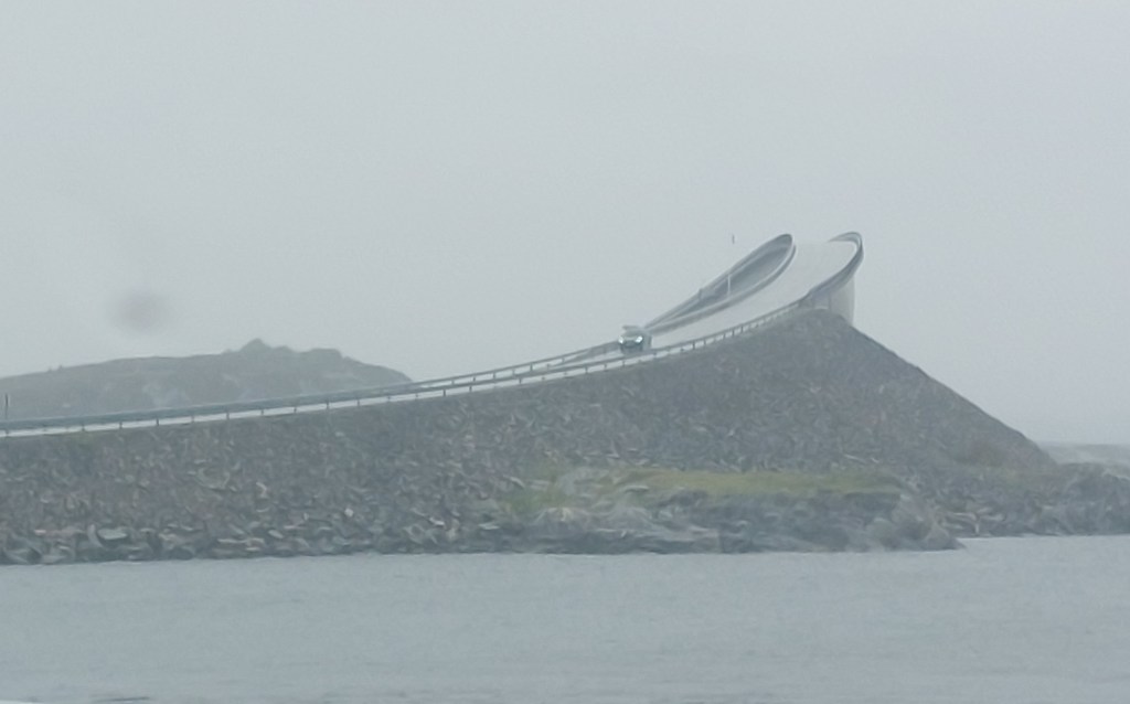
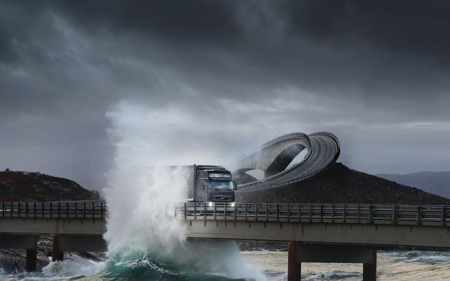
Social media posts have made common, the exciting sight of the Atlantic Road, specifically Storseisundet Bridge with waves from the Atlantic Ocean lashing across it, giving the impression that the cars on the bridge are in danger of being swept away. The bridge is an undulating, cantilevered bridge which looks like a roller coaster track. Every time I saw one of those posts, the Atlantic Road beckoned me, and today was its day of reckoning.
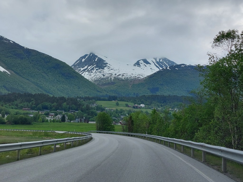
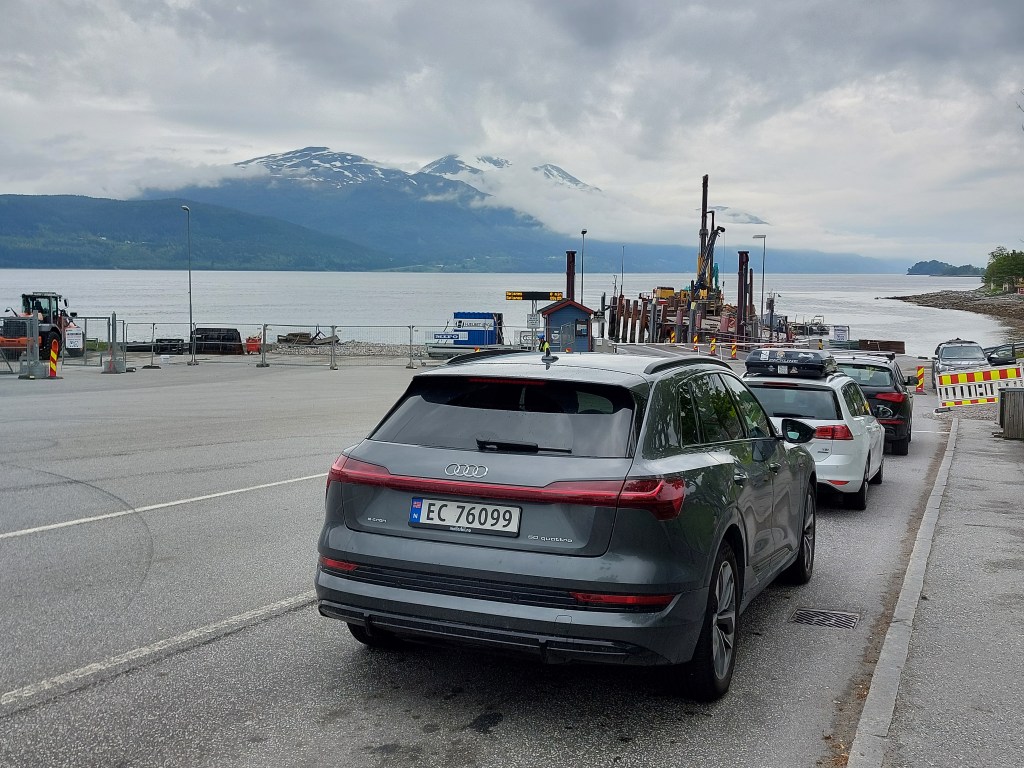
We drove Route 64 through the outskirts of Åndalsnes to Afarnes to make the first ferry crossing of this trip to Molde. This ferry being a part of Route 64 is charged as toll. The Norwegian Public Roads Administration (NPRA) calculates the road toll to be charged when you pass an automated toll station which registers your vehicle’s registration number with a camera and/or reads your toll tag, the same applies for these road ferries. It is to be noted that all ferries are not road ferries and the ones that are not, for eg. the Geiranger Ferry, which I will write about in a couple of days, can be booked online and have to be paid for to the ferry company.
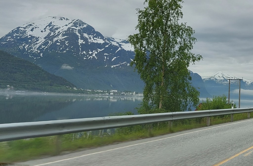
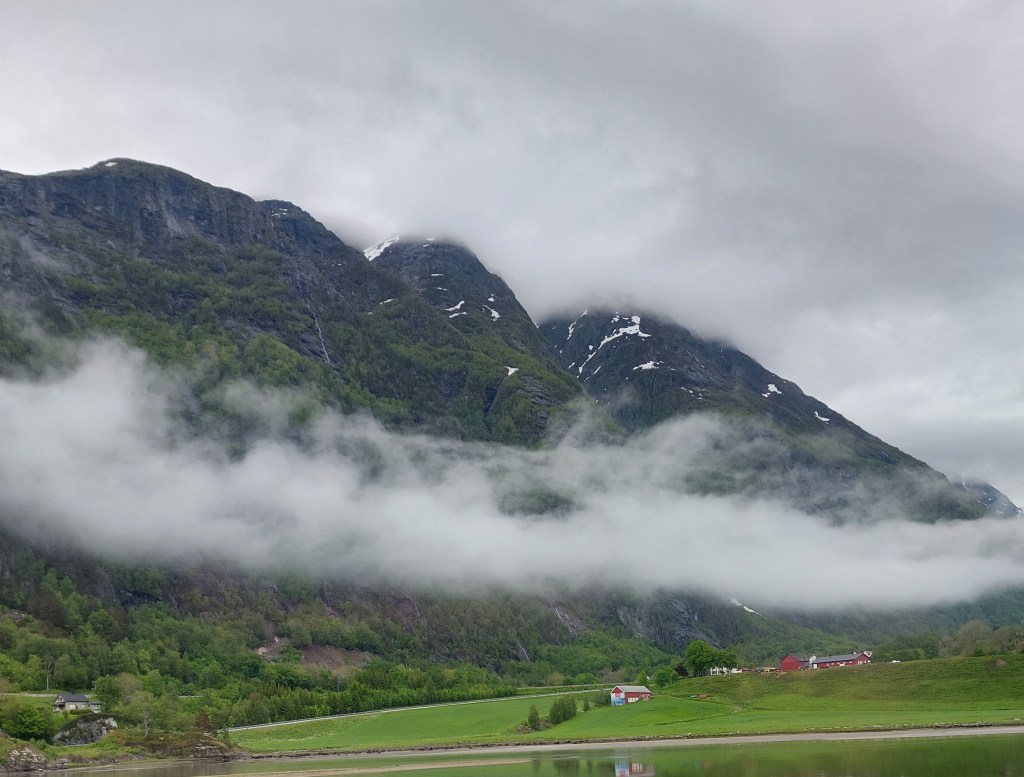
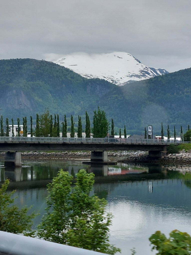
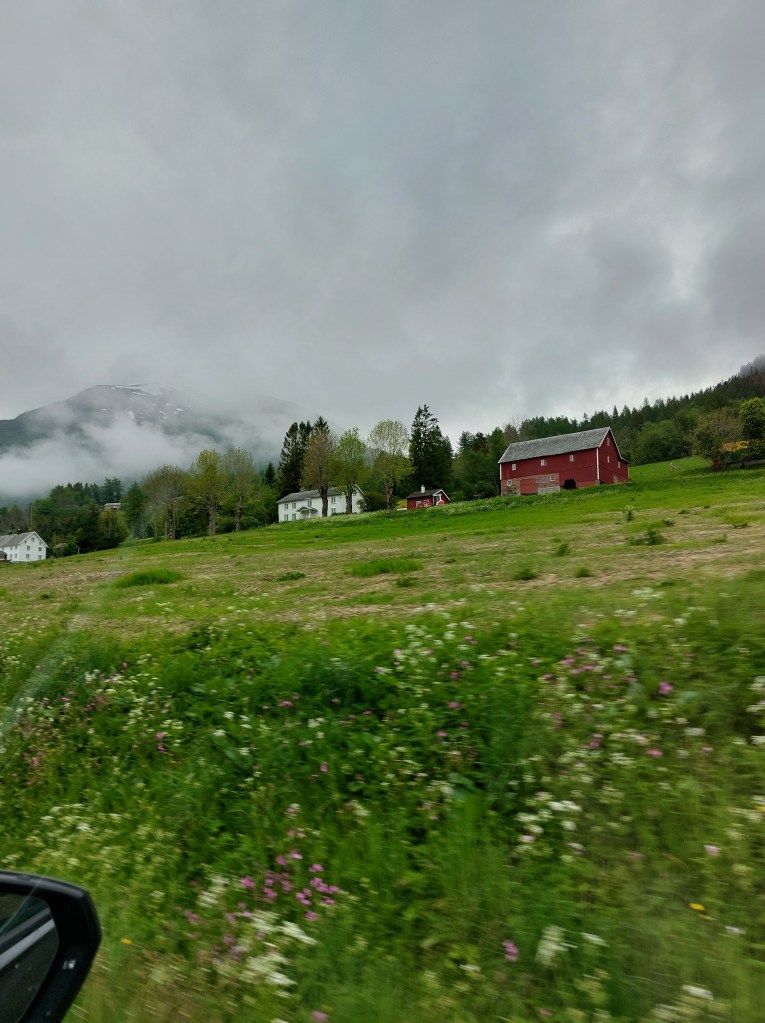
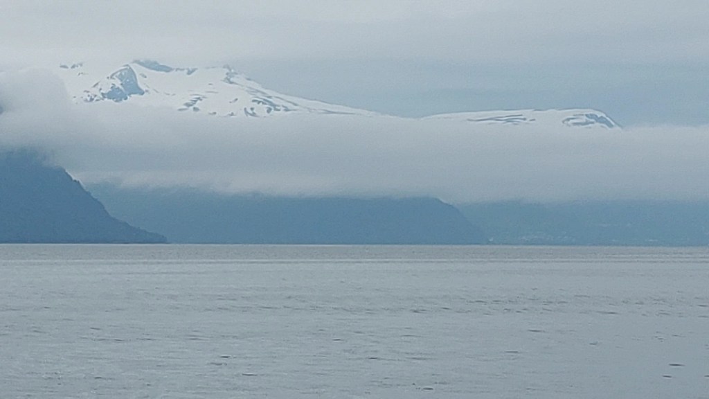
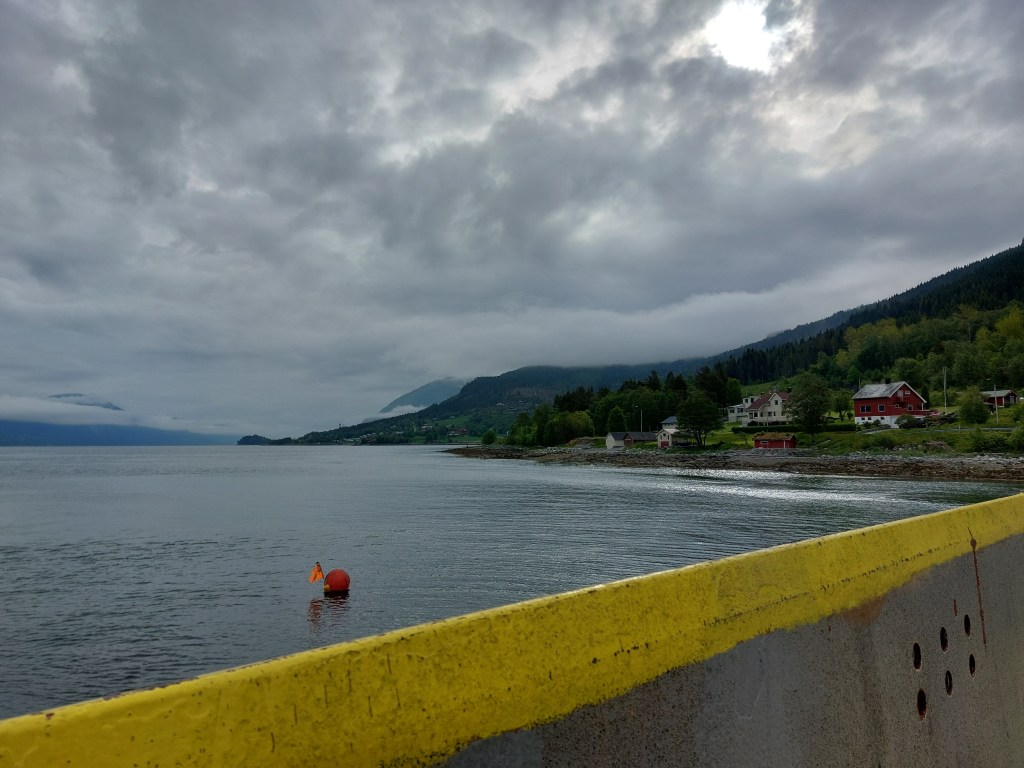
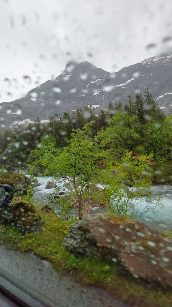
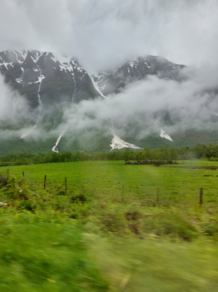
The clouds lay low and the scenery was rain drenched, which gave it an attractive dimension as seen in the photos. All photos on my blog are taken with a mobile phone camera and have no filters.
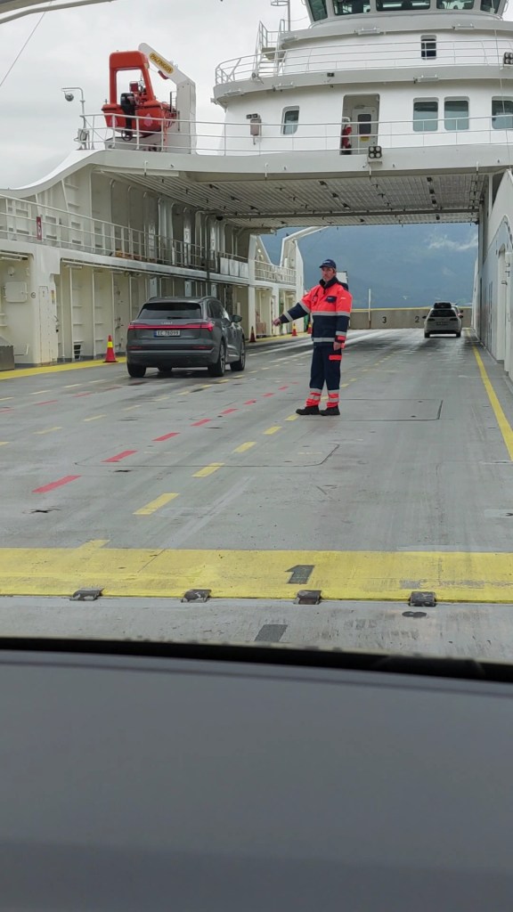
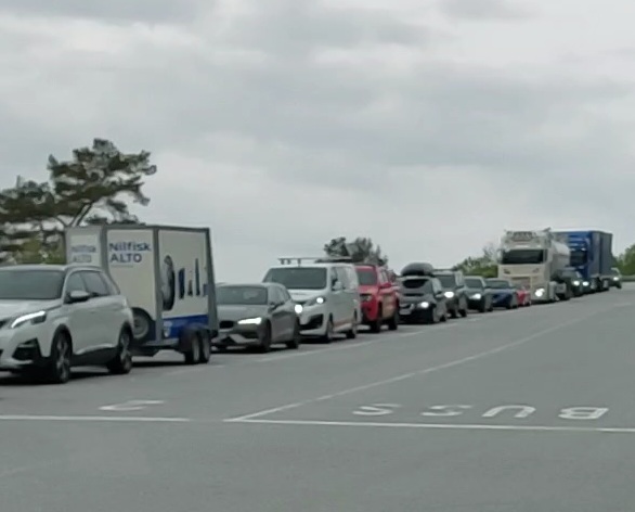
We were nervous about getting things right while getting onto the ferry, but one does not need to be, you simply queue in the lanes which are numbered, so in case it is your first time boarding a ferry and there is not single car before you, just drive to the front of the lane numbered ‘1’. If you reach the queue of cars and your car is going to spill onto the road just head to the top of lane ‘2’ and wait patiently, the staff present at the dock will indicate when and where you have to drive onto the ferry.The ferry boarded, my partner was reluctant to leave the car, not knowing the etiquette, since this particular crossing takes 15 minutes and I wanted to see the view, I jumped out and asked one of the staff, if I could go to the upper deck, there is no view from the lower deck unless you are seven feet tall. He was so kind, he actually took me up in the lift, there was a café and toilets and a deck. The toilets on the ferry were spotlessly clean so I went back to the car and cajoled my partner out of the car on this pretext. We were lucky, it had stopped raining though the clouds were still hanging low. The view from the ferry on bright and clear days must be spectacular but we felt so spectacular ourselves that we had no complaints. While exiting the ferry, you have to be careful to change lanes and get into the lane on the far-right as the lanes for getting onto the ferry are to the left.
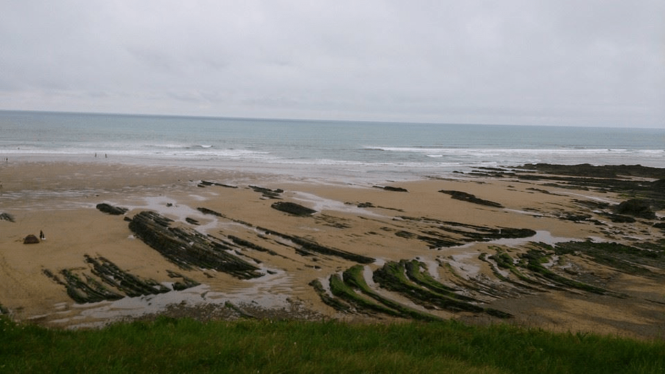
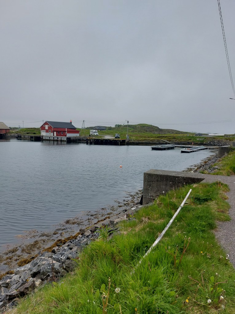
From Molde we drove on to Bud, the town that we had decided to visit. I had read that it was very pretty and it being smaller than Andalsnes and Molde would also be easier to enter and park in. We avoid big towns for a couple of reasons, we do not enjoy densely populated areas, preferring isolated spots with natural beauty and do not want the headache of navigating town traffic and finding parking and then wasting time in figuring out how the parking has to be paid for, only to subsequently stress over whether we had done everything correctly. The other attraction of Bud which is pronounced bude was our affection for its namesake town in Devon, UK – Bude which is also on the sea and which remains in the limelight of our memories.
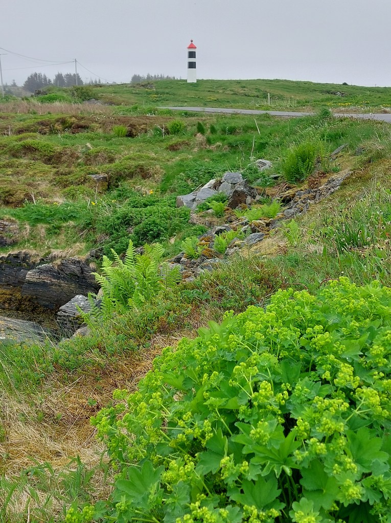
The Germans who occupied parts of Norway during WW2 built Ergan Fortress here expecting an invasion by the Allied Forces. The invasion never happened. However, there are many bunkers, gunneries, and position establishments still maintained here. The Ergan Coastal Fort is now a part of the Bud Coastal Museum, which is a war memorial museum. Ergan also has exceptional views over the fishing village of Bud and the waters of Hustadvika.
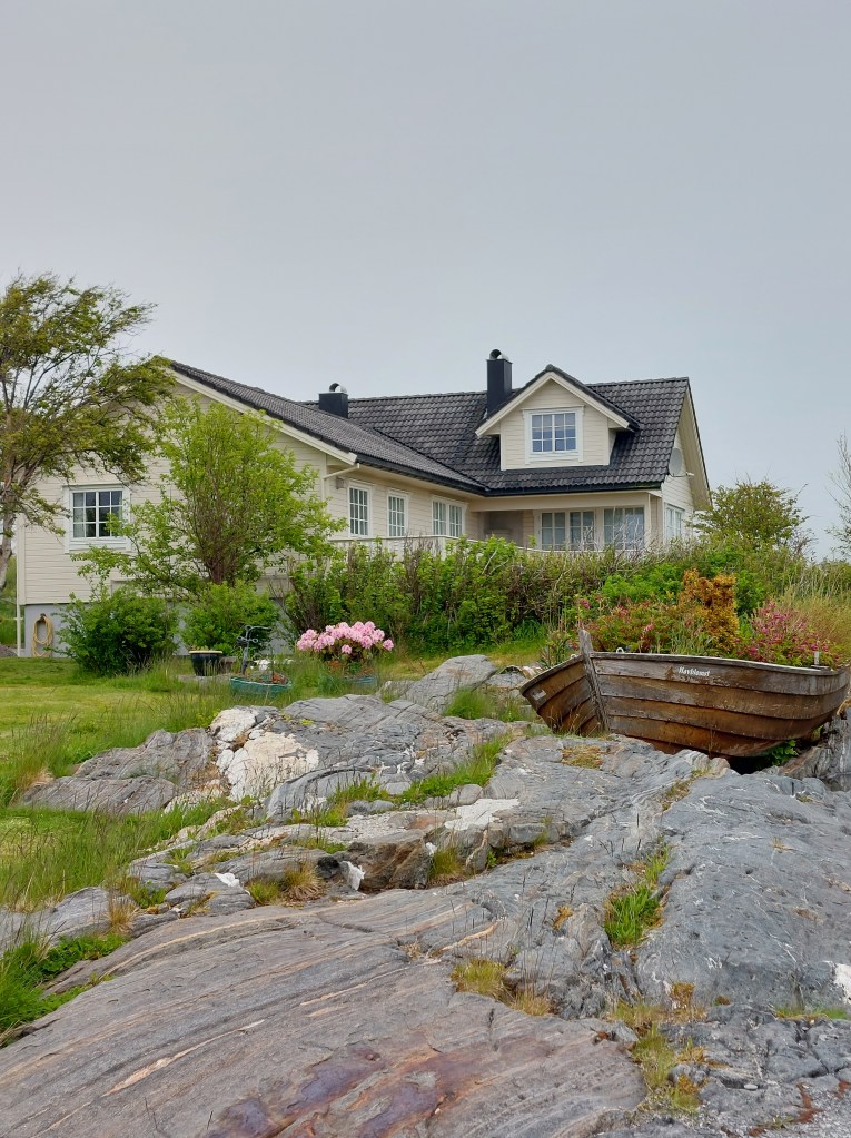
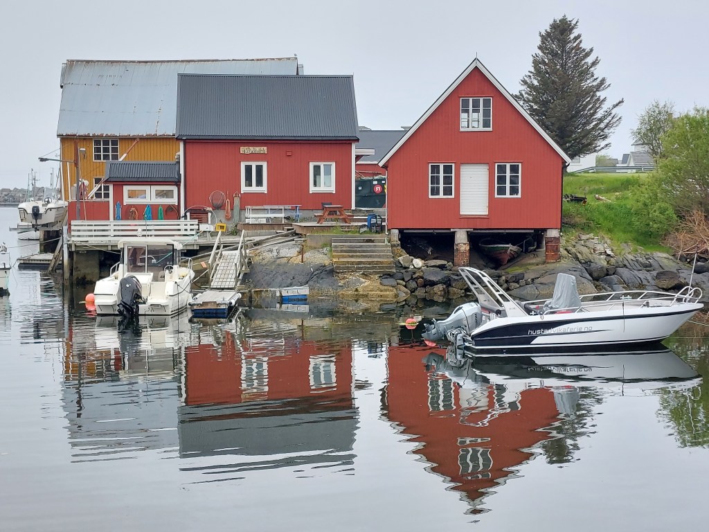
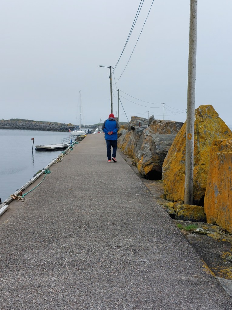
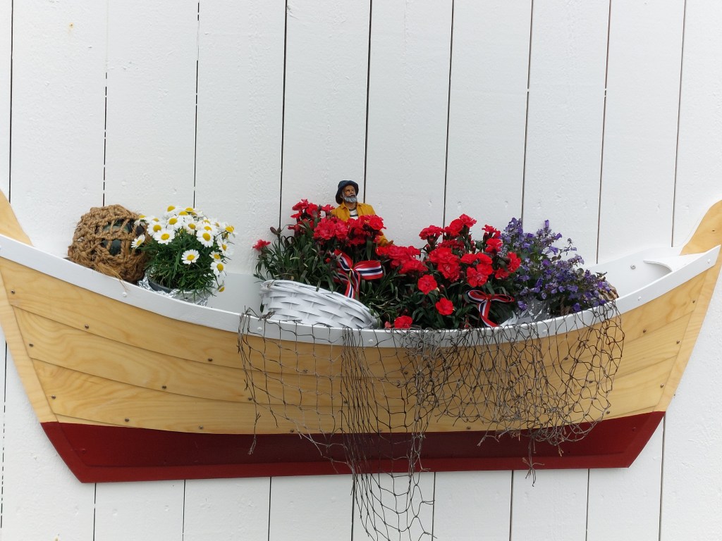
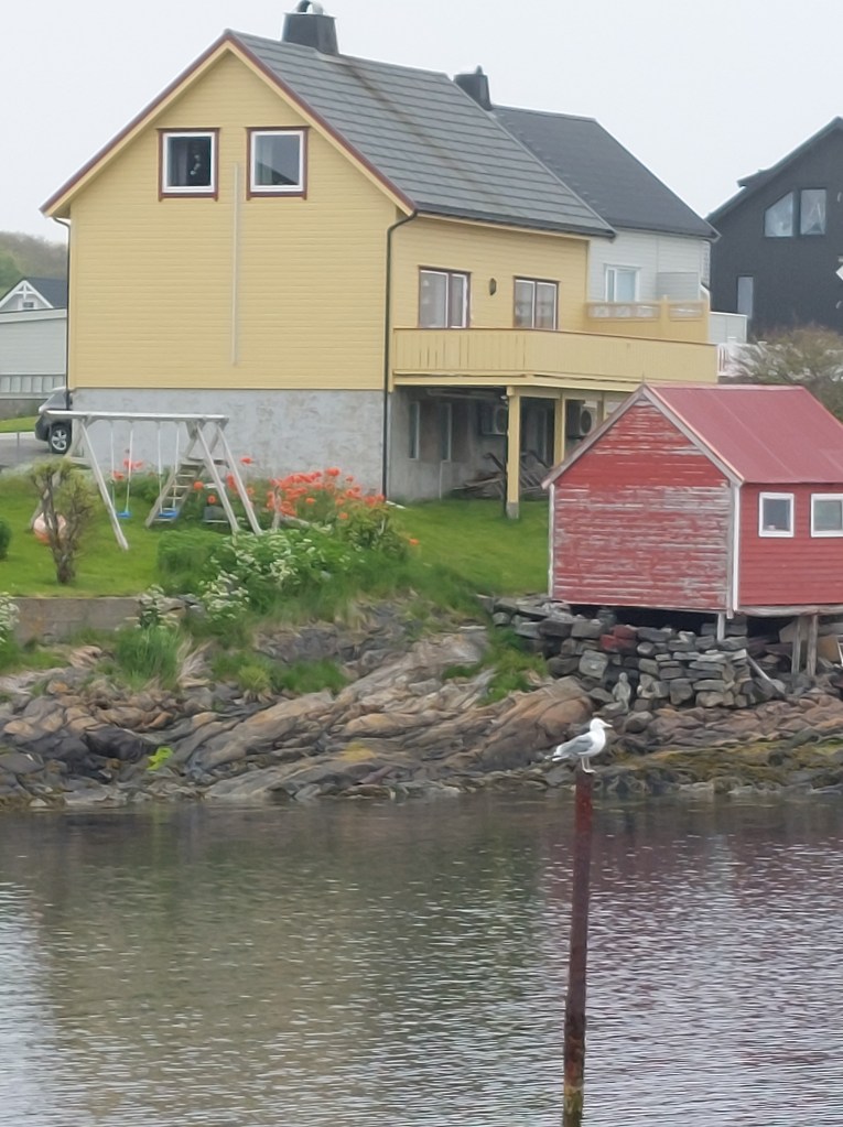
In Bude we parked in what we realised later was the local school parking and wandered around the town, it was not even 10am, the town was quiet, just a couple of girlfriends jogging and chatting and a smattering of tourists like us getting the measure of the place. We found our way to the water’s edge and walked along the pier. Seagulls were about, the houses were very pretty, brightly coloured with gardens full of flowers. It started raining again and as we could not find a place to catch a coffee or a bite, and accessing the bunkers in the rain was not possible, we made our way to the supermarket and bought ourselves some fruit and headed to our car.
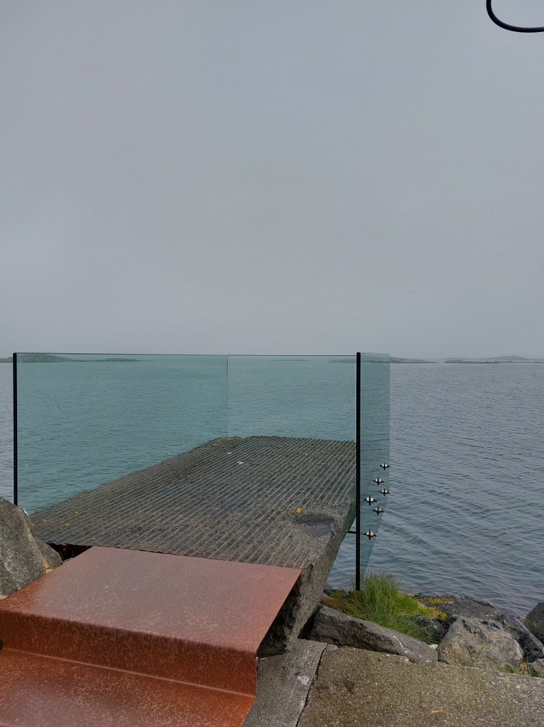
While driving from Bud in the direction of the Storseisundet Bridge we made a two-kilometre detour to see the Askevågen Viewpoint, which has a platform with glass walls, located at the end of the breakwater, that provides a 360-degree view of the ocean, the archipelago and the mountainous shore. This stop was both scenic and instructive as the information board provided in interesting detail the origin of the name Askevågen – literally Ash Bay. It seems Kelp was gathered and laid out on bare rocks to dry, and later burnt in stone kilns that were built along the beach. Ashes from the burning of kelp were an important ingredient in the production of soda, which was used in the manufacture of glass and other things. The demand for kelp was great, and kelp burning thus became an important livelihood for many coastal families. Since animal feed was a scarce resource, seaweed and kelp were used as food for the livestock. Kelp could also be used to improve the soil in the fields. Kelp burning gradually became such an extensive activity that many people believed it was detrimental to fishing. Thus in 1804 kelp burning was made illegal. In the 1870s there was growing demand, and burning was resumed. Now the ashes were used to tract iodine, which was important in medicine. The iodine content in kelp is highest at northern latitudes and it was therefore more valuable than kelp from Southern Europe: Kelp burning came to an end in 1930 due to the discovery of simpler and cheaper methods to produce iodine. Even today, sea kelp is an important product because of its high level of nutrients.
The day continued to be dull and drizzly we approached the famous Storseisundet Bridge in Averøy Municipality. Waves did not lap across it, we were in no danger of being swept away and though it looked like a roller coaster, it did not feel like one. All in all, it was more than a bit of an anti-climax. Looked interesting, but didn’t live up to my expectations in its navigation. I guess all the photos that I had seen of the Atlantic Road had been either taken aerially and / or enhanched, what I saw from the gound just did not match up.
Unphased, we stopped at the Eldhuset – Atlanterhavsveien Kafe next to the bridge and had an early lunch of some hearty Thai soup, defrosted and served to us by a friendly Polish lady. We met lots of Polish people in Norway, which seemed providential since we were headed to Poland after the Norway road trip. After lunch we drove along the Atlantic Road till Karvag and the weather just kept getting worse, with very little visible through the rain drenched windows of the car and the fog so we decided to abandon our plan to drive to Averøy and then Kristiansund and headed back to Trollstigen Resort.
Jet lag caught up with us and just as we reached Elde we were both finding it hard to keep our eyes open, so just as we have done on earlier road trips, to avoid the possibility of a sleep related driving incident, we stopped in lay-by along Route 64 and took our forty winks, refreshed from our nap we continued to our resort.
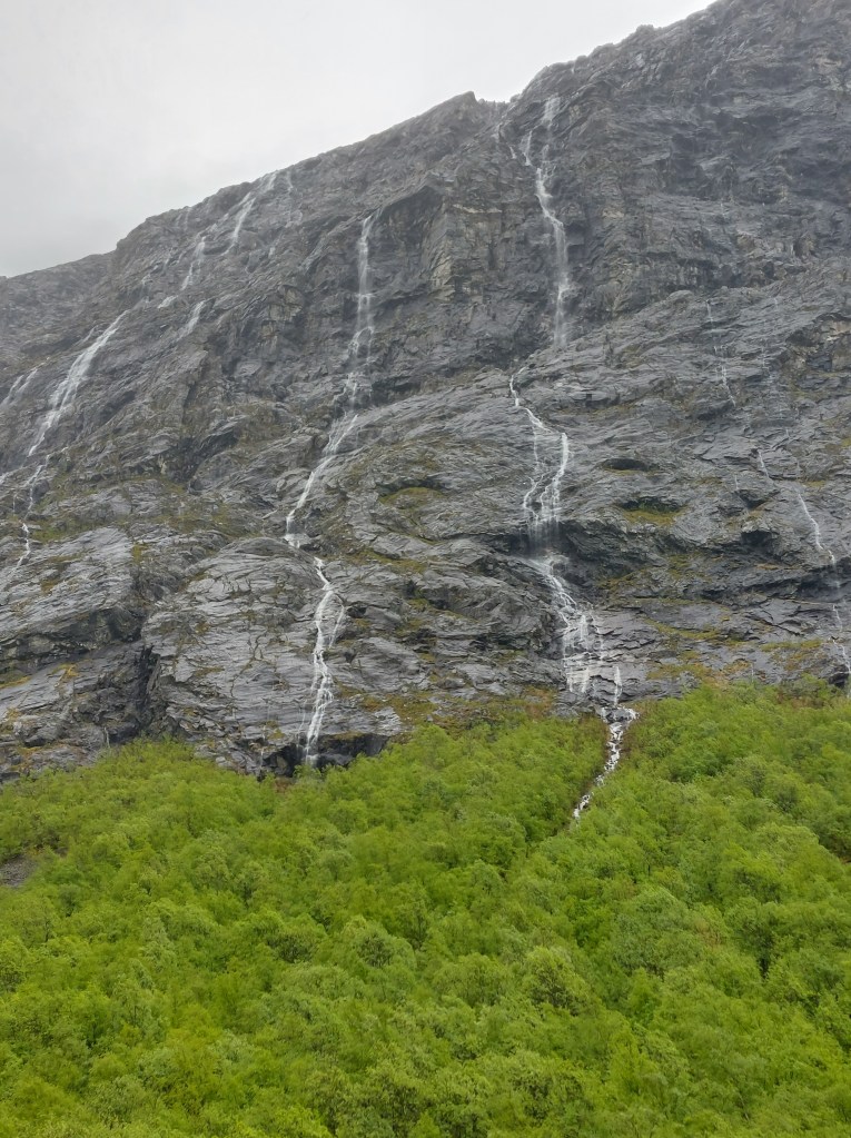
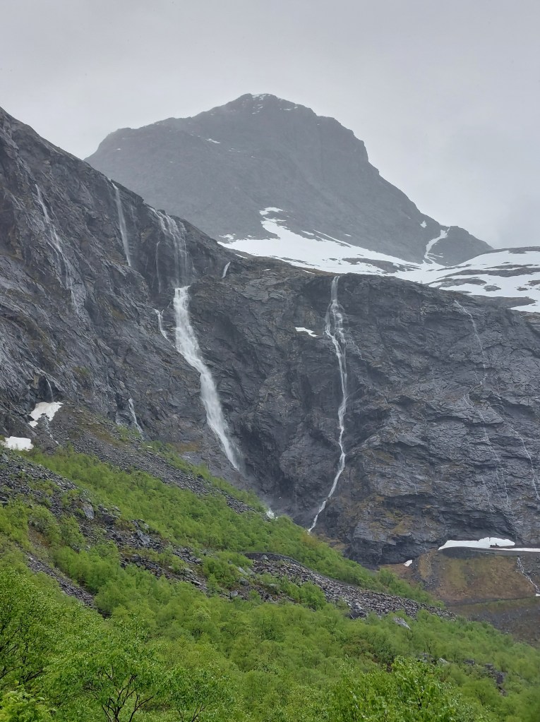
Once we reached the resort, we had a quick refreshment and headed towards Trollstigen, we drove some 8 kms to the Information Viewpoint, it was raining steadily but the drive was beautiful, milky blue glacier waters ran along with us and the viewpoint was in a valley with hundreds of waterfalls sliding down the slopes and we could see the famous winding Trollstigen Road going up the face of the mountain. As described in Day 1, we had planned to drive the Road towards Geiranger on Day 3, but due to avalanches in the winter the road was not yet cleared and open, so this is as far as we were going to get. We met a Dutch family at the viewpoint who were in the same predicament as us and the rain notwithstanding we huddled in our raincoats and chatted about our itineraries.
On returning to the resort, we had grilled salmon with accompaniments for dinner, put together by us in our cabin. Later, the Norwegian lady we had met the day before joined us over fresh strawberries and coffee to chat, into late in the evening, about life and travel in our respective countries. We retired for the night, already excited about the sights we would see enroute to Geiranger fiord, the next day – Day 3 Trollstigen to Geiranger Fiord.
